I know there are no plans to update or expand on the map view at the moment.
Users have expressed frustration with it not behaving like Google maps (what they’re used to).
They want to be able to search for locations that don’t exist in a Fibery database field, check distances between markers, show all markers within a radius of a point, among other very complex behaviours. I have already pushed back against this since I know the limitations of OpenStreetMap and the Fibery team’s current stance.
However, I would like to explore the possibility of creating a browser extension to the map — at least in the interim while the development team are busy looking at more important features.
A conceptual mock-up is shown below.
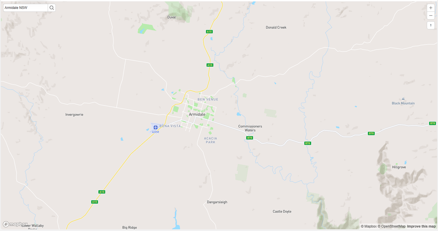
In this example, a search field would appear in the top-left of the map. This would hook directly into an API, and the returned GPS coordinates could re-centre the map based on the most likely match to the entered request data.
I have 5 years of JS experience under my belt. I would like to know:
- Is this possible? If so
- How hard would it be to write?
- What are the restrictions on the API? Could this proposed extension hook into Fibery’s calls, or would it require its own key?
Thanks in advance to anybody who responds.